


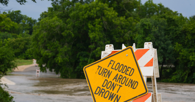
Much of Central Texas and the entire state of Louisiana are bracing for life-threatening flash floods as heavy rains sweep through the South. The heavy rainfall began overnight Sunday and continues Monday, prompting the National Weather Service to warn residents in affected areas to stay away from low-lying areas.
As of Monday morning, the National Weather Service (NWS) is warning of the increasing threat of heavy rainfall from South Texas to the lower Mississippi Valley through the next several days.

According to the NWS, tropical moisture and complex interactions among an upper-level disturbance exiting the Mexican plateau and other weather conditions throughout the Gulf region will set the stage for rainfall of 4-6 inches with locally higher amounts possible through the next three days along the Texas coastline, Louisiana, and throughout the Mississippi Valley.
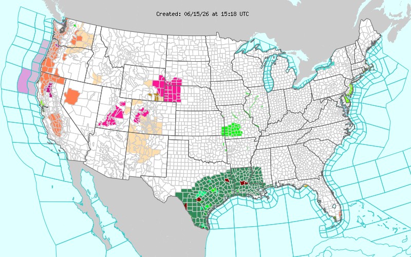
National Weather Service
NWS has issued warnings indicating that expected heavy rains could impact major cities throughout the South, including San Antonio, Austin, Waco, and Houston in Texas, as well as New Orleans, Baton Rouge, Lake Charles, and Shreveport in Louisiana. In Mississippi, the NWS warns of potential flooding impacts in Jackson, Gulfport, and Biloxi.
In San Antonio and parts of Central Texas, the NWS issued critical flood alerts overnight, warning residents of the imminent threat of flooding and urging them to avoid travel if not fleeing an area subject to flooding or under an evacuation order. Local authorities closed more than 30 roads and highways across the city and Bexar County as the flash flood warning continues through Monday afternoon.

National Weather Service
According to a report on KXAN, at least 75 low-water crossings near the Austin Metro area and surrounding communities throughout Central Texas have been closed due to the flash-flood threat. Flooding in some areas has caused significant damage to local roadway surfaces and culverts.
In Waco, Texas, heavy rains stranded motorists on Interstate 35 as water levels rose dangerously late Sunday night. Rescue workers responded to the area and are conducting rescue operations for those affected by the rising waters. The Texas Department of Public Safety has opened an access road to help stalled motorists navigate the flooded stretch of the busy I-35 corridor on Monday.
The NWS New Orleans flood watch will remain in effect for significant portions of southeast Louisiana and southern Mississippi through Friday, with the heaviest rainfall expected on Monday and Tuesday. NWS warnings have been issued for residents in flood-prone zones to avoid low-lying areas around rivers, creeks, and streams, as well as poorly drained urban areas.
Randy Clark is a 32-year veteran of the United States Border Patrol. Before his retirement, he served as the Division Chief for Law Enforcement Operations, directing operations for nine Border Patrol Stations within the Del Rio, Texas, Sector. Follow him on X (formerly Twitter) @RandyClarkBBTX.
Read the full article here


