


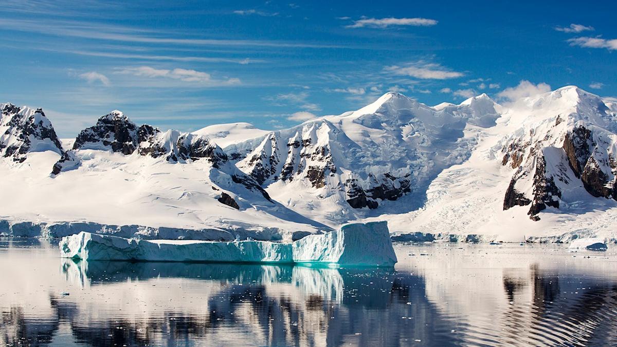
What comes to mind when you think of Antarctica? Probably snow and ice.
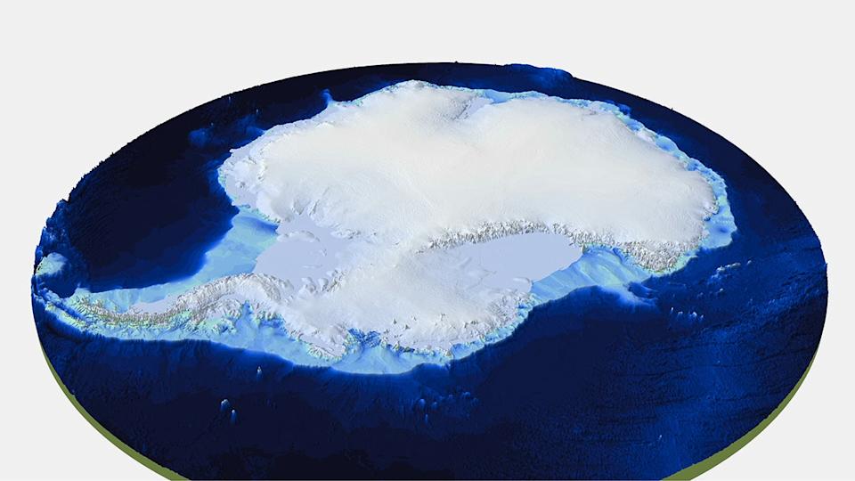
But a group of international scientists are shaking up what we think we know about the continent after unveiling a new, very detailed map of everything beneath the millions of miles of ice.
The map, called Bedmap3, gives a clear view of the towering mountains and deep canyons hidden by the ice sheets. It was compiled using more than 60 years of data from planes, satellites, ships and even sleds pulled by dogs.
The British Antarctic Survey led the study and the results were published in the journal Scientific Data.
As the name of the map implies, this is the third effort to illustrate Antarctica’s rock bed. The project began in 2001, but the researchers involved say the new map represents a dramatic refinement using 82 million data points.
That data includes recent surveys in East Antarctica, which helped fill big gaps in our collective knowledge of the region, including around the South Pole.
One notable discovery is that Antarctica’s thickest ice was found in an unnamed canyon in Wilkes Land. The ice there is more than 15,000 feet thick. Earlier maps placed the thickest ice in the Astrolabe Basin In Adelie Land.

Here’s why this new map is critical: It will help researchers figure out how Antarctica might respond to warming temperatures.
“This is the fundamental information that underpins the computer models we use to investigate how the ice will flow across the continent as temperatures rise,” said Dr. Hamish Pritchard, a glaciologist at BAS and the study’s lead author. “Imagine pouring syrup over a rock cake – all the lumps, all the bumps, will determine where the syrup goes and how fast. And so it is with Antarctica: some ridges will hold up the flowing ice; the hollows and smooth bits are where that ice could accelerate.”
So could this map also be a chilling look at Antarctica’s future under a worst-case scenario? This group of scientists did not go that far, but they did discover that those ice sheets are thicker than once thought.
Here’s what Peter Fretwell, mapping specialist and co-author at BAS, says: “In general, it’s become clear the Antarctic Ice Sheet is thicker than we originally realized and has a larger volume of ice that is grounded on a rock bed sitting below sea level. This puts the ice at greater risk of melting due to the incursion of warm ocean water that’s occurring at the fringes of the continent. What Bedmap3 is showing us is that we have got a slightly more vulnerable Antarctica than we previously thought.”
MORE ON WEATHER.COM
– Surprising Discovery Under Antarctic Ice Shelf
– Your Area Could Be Next: Tornado Risk Is All Year
– Top 10 Worst Cities For Allergy Sufferers
Read the full article here


