


Despite a prediction of sunshine on Thursday, a flood warning will remain in effect for the Wichita River through Wichita Falls into Clay County.
The National Weather Service early Thursday predicted the river would rise to 20.7 feet overnight, creating extensive flooding in Harrell and Lucy parks and shallow flooding in Scotland Park , north of Third Street and in Tanglewood Hollow.
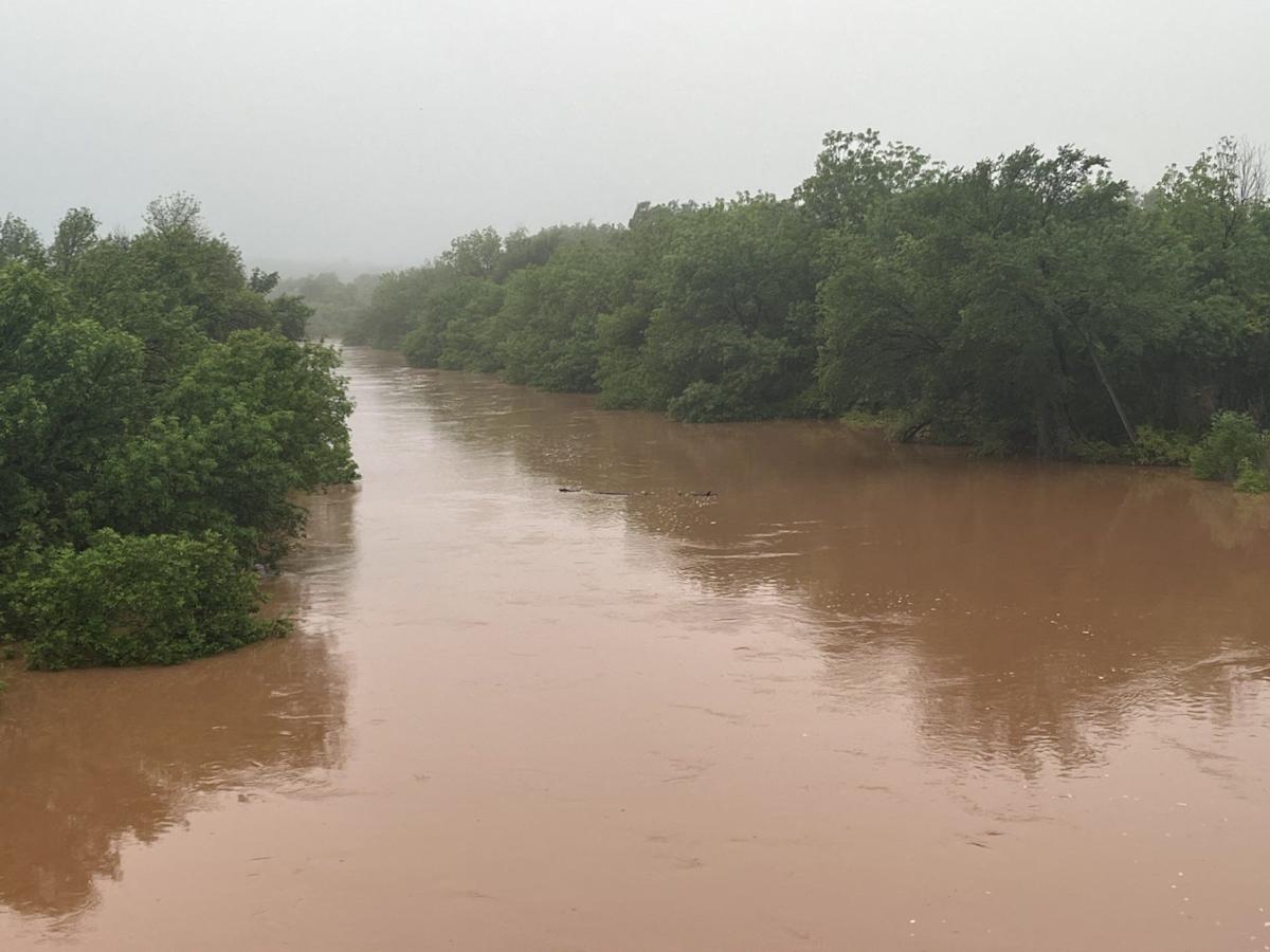
Spreading bank to bank, the flooding Wichita River rose below the Loop 11 bridge early Thursday.
The predicted river levels are slightly less than in earlier forecasts. The river is expected to fall below flood stage Saturday afternoon.
The weather service predicted rain would return to the area Thursday night and continue through Friday night. Precipitation enters the forecast again on Monday and remains through Wednesday.

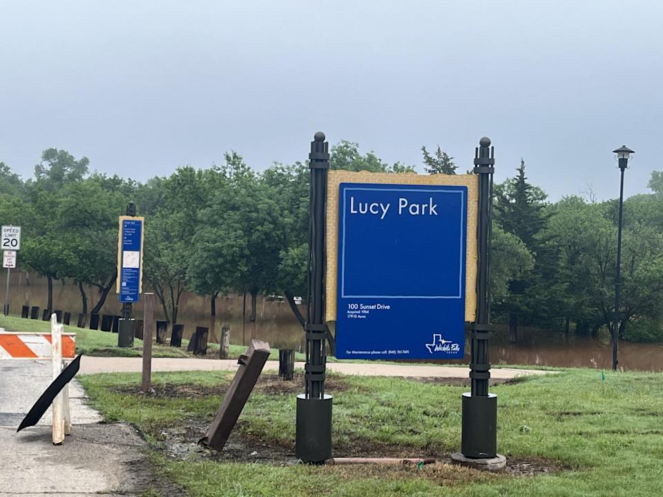
The entrance to Lucy Park was barricaded Thursday morning as the Wichita River rose to inundate the large park.
April proved to be an extraordinarily wet month for North Texas. The 10.35 inches of rain that fell was more than three times the normal for the month.
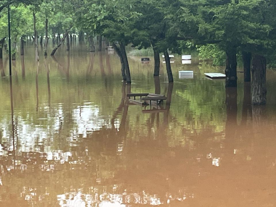
Benches and tables in Lucy Park were submerged Thursday morning as the Wichita River rose from its banks.
Wichita Falls has received 12.86 inches of rain so far in 2025. The normal amount for this date is 7.12 inches.

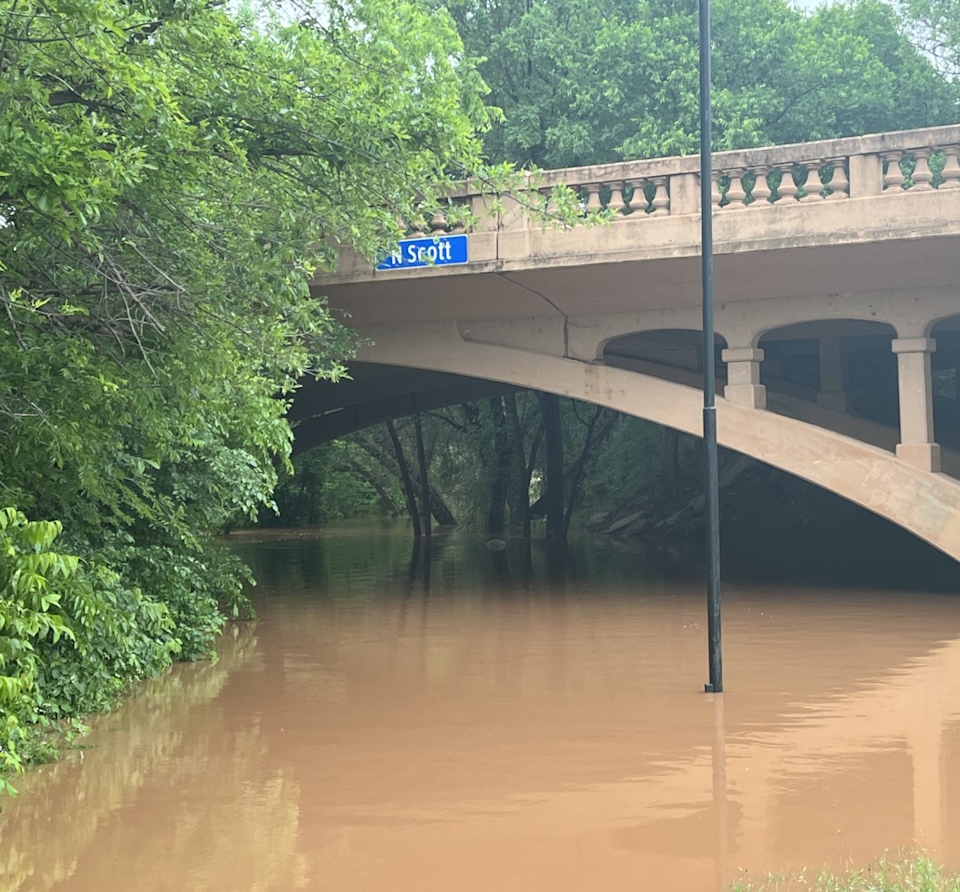
The Wichita River rises eerily beneath the old North Scott Avenue bridge early Thursday.
The precipitation was good for area lakes that had been plagued by months of drought. Stage 1 drought watch restrictions will remain in effect for Wichita Falls water customers until the City Council lifts them. The item is not on the May 6 council agenda.
More: No plans for evacuations as Wichita River rises
More: Flooding closes MSU building
This article originally appeared on Wichita Falls Times Record News: The Wichita River rose from its banks early Thursday after days of heavy rain
Read the full article here


