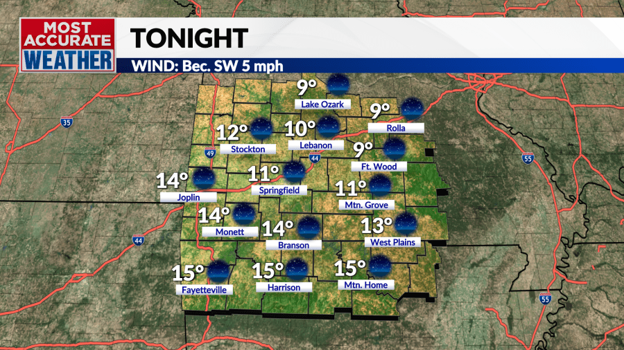
The key word with our temperature trend is “warmer”. It’s important to add the “-er” at the end because while we are warmer than what we’ve been recently temperatures are still colder than normal. Today’s arctic front squashed hopes of a warming trend with temperatures stuck below the freezing mark throughout the day.
Download our KOLR 10 weather app
Arctic air settling into the Ozarks along with clear and calm conditions will result in a very cold start to the day Friday. So, don’t put the heavy coat away just yet.

We resume our warm-up schedule after a frigid Friday morning. Sunshine and southwest winds will send the arctic air packing with afternoon highs well above freezing.
The warming trend will extend to the weekend. A bit of a race will be underway with an incoming cold front and increasing clouds trying to fight off the warming trend. That said, temperatures will be the warmest we’ve enjoyed in a week with highs in the upper 40s north to low 50s south. Chillier weather will settle in Sunday with skies remaining partly sunny.
The overall pattern across the nation and continent will be undergoing important changes as we end the month and head into February. Cold air has been bottled up over Canada and the Lower 48 thanks to a blocking ridge over Greenland. That roadblock will finally be removed as we end the month. This will allow cold air to flow less impeded into the Atlantic with warmer Pacific air moving in from the west. This should mark a shift to a warmer mode of winter weather and we’ll notice this next week as temperatures climb into the 50s with 60° within striking distance by Wednesday.
A stalled storm in the Southwest will deliver our next chance for rain as it finally heads east Thursday.
Copyright 2025 Nexstar Media, Inc. All rights reserved. This material may not be published, broadcast, rewritten, or redistributed.
For the latest news, weather, sports, and streaming video, head to KOLR – OzarksFirst.com.
Read the full article here


