


While it’s not technically spring yet, the final week of February in Wisconsin will sure feel like it.
Temperatures will be in the mid-40s throughout most of the state, possibly reaching a high of 47 degrees on Monday in Milwaukee or even 50 degrees further inland.
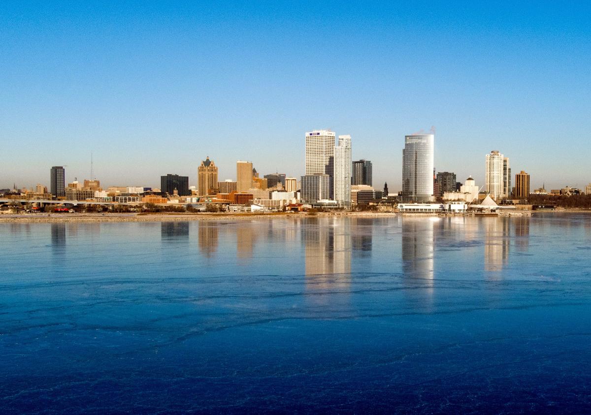
The forecast for Milwaukee shows a high around 44 degrees on Tuesday, 45 on Wednesday, 43 on Thursday and 45 on Friday. Saturday’s high will drop a bit to 39 degrees.
The warm stretch could continue into the beginning of March, National Weather Service meteorologist Kevin Wagner said, but it probably won’t be quite as warm as the next few days.
“We’re getting into springtime, we’re heading into March, so the days are getting longer. We’re going to see warmer temperatures just gradually continue,” he said.
There’s increasing sunlight during the day, Wagner explained, which is warming temperatures up. But the snow on the ground means it’s not as warm as it could be.
More: When will the sun start setting after 6 p.m. in Wisconsin?
More: Here’s what two different forecast models predict for spring 2025 in Wisconsin
Temperatures in the 40s are only about 10 degrees above average for this week in February, so it’s unlikely new record highs will be set.
The final week of February has reached the 60s mark before, and Milwaukee hit a record 74 degrees on Feb. 27 of last year.
Wisconsin won’t see totally blue skies to accompany the springlike weather, but most days this week are expected to be partly sunny or partly cloudy.
Rain and warm temperatures will melt snow, thin ice
There’s potential for rain this week, including a slight chance Monday evening and overnight.
But rain is more likely across southern Wisconsin Tuesday night into Wednesday afternoon, ending by the evening.
A wintry mix can’t be ruled out, Wagner said, depending how cold temperatures get overnight. That could be more likely in central Wisconsin.
Warm temperatures will cause snowpack to “diminish pretty quickly,” especially if overnight temperatures remain above freezing, Wagner said.
Rain or melting snow may run off into area rivers instead of being absorbed into the frozen ground, Wagner said. That creates the potential for ice to break up in rivers and cause ice jams.
And as Wisconsin heads into spring, ice will begin thinning out on area lakes. Last week, Dodge County officials issued a warning for thin ice on Beaver Dam Lake after three snowmobiles went through the ice in 24 hours.
“Definitely use caution if you’re going to be near any body of water with ice,” Wagner said.
More: How to stay safe on the ice in Lake Country or anywhere, while enjoying winter’s landscape
This article originally appeared on Milwaukee Journal Sentinel: Wisconsin gets first taste of spring this week, with temps in mid-40s
Read the full article here


