


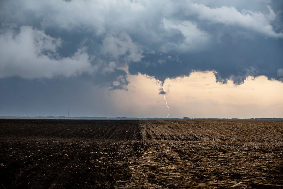
The National Weather Service issued a Hazardous Weather Outlook for most of Illinois on March 11, warning of an approaching spring storm later this week. Severe thunderstorms, strong gusts and high temperatures are expected.
Here’s what we know.
Hazardous weather warnings in Illinois
The weather service issued Hazardous Weather Outlooks for central Illinois, southeast Illinois, northeast Illinois and northwest Indiana, including areas surrounding Lake Michigan.
A strong storm system is expected to bring windy conditions to central and southeast Illinois Friday through Saturday, with a 30 to 60% chance of gusts around 50 mph on Saturday. The greatest thunderstorm risk is predicted Friday night in much of the area, with a 30% risk of severe weather expected south of Springfield. Damaging winds and a few tornados are possible Friday night.
A similarly powerful spring storm system with strong gusts is also expected in the Chicagoland area from Friday until Saturday. There’s a chance of thunderstorms Friday night, with some potential severe weather in the region.
Hazardous conditions are predicted for small craft in Illinois and Indiana regions bordering Lake Michigan Tuesday through Sunday, with gale force winds likely on Saturday.
Story continues after photo gallery.
High temps to come this weekend in Illinois
Temperatures reached 70 on Monday in Chicago, tying the 1955 record, according to the NWS’ daily weather records. The service shared a post on Facebook Monday saying temperatures would be about 20 degrees higher than normal.
Temperatures statewide are expected to dip mid-week before picking up again this weekend, possibly nearing the daily record again on Friday. Chicagoans and those in central Illinois can plan on enjoying a partly sunny, 75-degree Friday and a mostly sunny Saturday with a high near 61 and a chance of showers in the morning.
This article originally appeared on Journal Star: What to know about spring storms predicted this weekend in Illinois
Read the full article here


