


GREEN BAY – The accumulated snowfall for Green Bay in the month of February doubled the amount of the snowfall between December and January.
As of Feb. 26, the Green Bay area saw 20 inches of accumulated snow in the month of February, according to the National Weather Service Green Bay. This is 8.8 inches above the 11.2 Green Bay usually gets in February.
Since Dec. 1, the Green Bay area has received 30.3 inches of snow. Of that, 10.3 inches — 7.4 in December and 2.9 in January — fell ahead of the February storms.
Much of February’s snow accumulation has melted thanks to a recent warmup, which included a 53-degree day on Feb. 24.
Jason Alumbaugh, a meteorologist for the National Weather Service Green, said this was the ninth snowiest February for the Green Bay area. The most snowfall the area saw in the month was 30.2 inches in 1890.
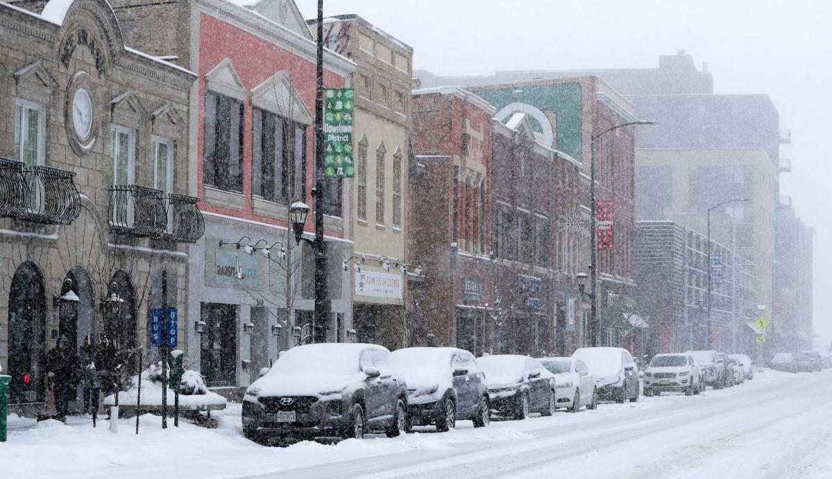
Snow covers vehicles Feb. 8 along North Washington Street in downtown Green Bay.
Will more snow arrive in March?
Alumbaugh said there is a potential for snow throughout March.
“March can be one of those months that can be pretty active, and I know that the official forecast from the Climate Prediction Center is leaning toward above-normal precipitation,” Alumbaugh told the Press-Gazette. “It could be rain or snow, but there’s still a potential. But it’s hard to say how it’s going to stack up to February.”
What was the snowiest day in February for Green Bay?
On Feb. 8, 7 inches of snow accumulated in the Green Bay area. This was part of a week in which Green Bay saw over 10 inches and 6.3 inches Feb. 14 and 15.
What was the coldest day in February for Green Bay?
The morning of Feb. 18 was minus 12 degrees, according to Alumbaugh.
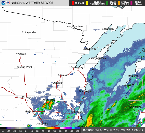
Green Bay weather radar

You can also view the USA Today snowfall tracker to see a map of snowfall accumulated in your area.
Rashad Alexander can be contacted at ralexander@gannett.com and 920-431-8214.
This article originally appeared on Green Bay Press-Gazette: Green Bay received over 20 inches of snow in February
Read the full article here


