Tennesseans may still be feeling the cold from the last winter storm, but the next one is expected to bring more than a chill to the air.
Communities across Tennessee have a chance of seeing some snowfall at the end of the week as a winter storm system is expected to push its way up from the Mexico/Texas border into the Mid-South region. Meteorologists warn communities that aren’t used to seeing this type of weather to brace for a large winter storm.
“In places that don’t get snow or ice very often, such as Austin, Dallas, Little Rock, and Nashville, it will be a big deal,” AccuWeather meteorologist Tom Kines told USA TODAY Monday.
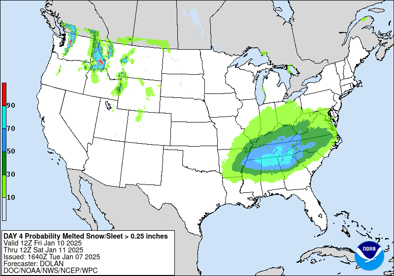
The National Weather Service predicts that after winter precipitation is dumped on Texas, the storm system will make its way into the southeast. As of Tuesday though, meteorologists were still unsure of its path, and whether it could slide off the coast or track up toward the Northeast.
Twimg
Embedded content: https://pbs.twimg.com/media/Ggo4lLWbUAAM7fF?format=jpg&name=medium
“There are two scenarios for this late-week storm. One scenario brings this storm farther south with limited snow and ice. If the storm is guided up the coast and strengthens, we could end up with a large snowstorm from the Carolinas to the Mid-Atlantic, possibly reaching eastern New England,” AccuWeather meteorologist Bernie Rayno said in a news release to USA TODAY.
Here’s a look at what Tennesseans across the Volunteer State could expect weatherwise as the week progresses.
Will Tennessee be hit with the latest winter storm?
The National Weather Service is already predicting several inches of snow, along with ice and other winter precipitation, starting toward the end of the week for communities across Tennessee. Much of the state can expect frigid temperatures the rest of the week with highs in the mid to upper 30s during the day and dropping down to the 20s at night, according to predictions from the National Weather Service.
“We already have the cold air in place so there`s not much of a question about heavy snow this time around,” read the National Weather Service’s forecast discussion.
Here’s a look at what the different regions of the state are expected to see at the end of the week into the weekend.
Western Tennessee and the Memphis area will get the first taste of winter weather starting late Thursday night and early Friday morning with temperatures in the upper 20s during that time. Initial predictions have an accumulation of about one inch of snow that evening. As we head into Friday, there is 90% chance of snow for the area with possible accumulation of four inches. The heaviest snow is expected to fall Friday morning.
The storm is expected to keep up with the snow as it moves into Middle Tennessee and the Nashville area. The metro area could see snowfall starting in the morning into the afternoon on Friday. Friday night there should be a taper in winter precipitation. Middle Tennessee has a 65-80% chance of the area seeing over one inch of accumulation and a 30-50% chance of seeing totals around three inches.
East Tennessee and the Knoxville area probably won’t start seeing snowfall from this storm until later Friday afternoon, but how much the area will see is still up in the air. Predictions have the eastern part of the state seeing snow heading into the weekend with temperatures dipping down into the teens in the mountains.
These predictions can change as more information is gathered and the week goes on.
Where is it snowing in Tennessee?
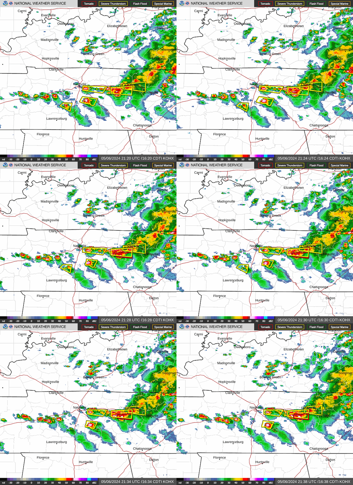
Keep up to date of where winter weather could be with the National Weather Service’s weather radar below.

Latest weather warnings for TN
This article originally appeared on Nashville Tennessean: Will Tennessee be impacted by winter storm? Latest predictions
Read the full article here
